

Synopsis
The eighth stage of the Reality Nascentes da Crise presented the hypothesis of the influence of the “flying rivers” of the Amazon on the arrival of the Portuguese in 1500.
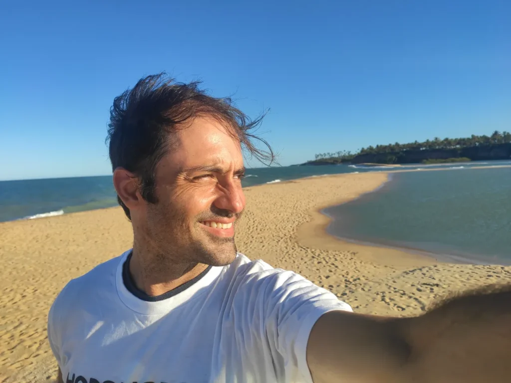
Based on a re-reading of the Letter of Pero Vaz de Caminha, the video documentary that summarizes the eighth stage of the Reality Nascentes da Crise was produced in the far south of Bahia. Between March and April 2021, Diego Gazola, from Varginha, travelled the geographical region between the mouth of the Jequitinhonha River, in the municipality of Belmonte, and the Cahy River, in Prado.
The new film, approximately 10 minutes long, presents technical data collected by the Climatempo satellites, validated through lived experiences in which the flow of moisture from the Amazon regularly influences the rainfall regime in that region, both at the river headwaters and throughout the area that was designated as the tourist zone of the Discovery Coast.
According to the Letter of Pero Vaz de Caminha, the first document written in present-day Brazil, one day before sighting the mountain and reaching the coast, the navigators spotted pieces of plants floating in the ocean. This fact meant that they were close to solid ground. This is how it appears in the original historical record: “…it was on 21 April, the said island being 660 or 670 leagues away, according to what the pilots said, that we found some signs of land, there was much tall grass, which the sailors call botelho, as well as others they call donkey-tail.”
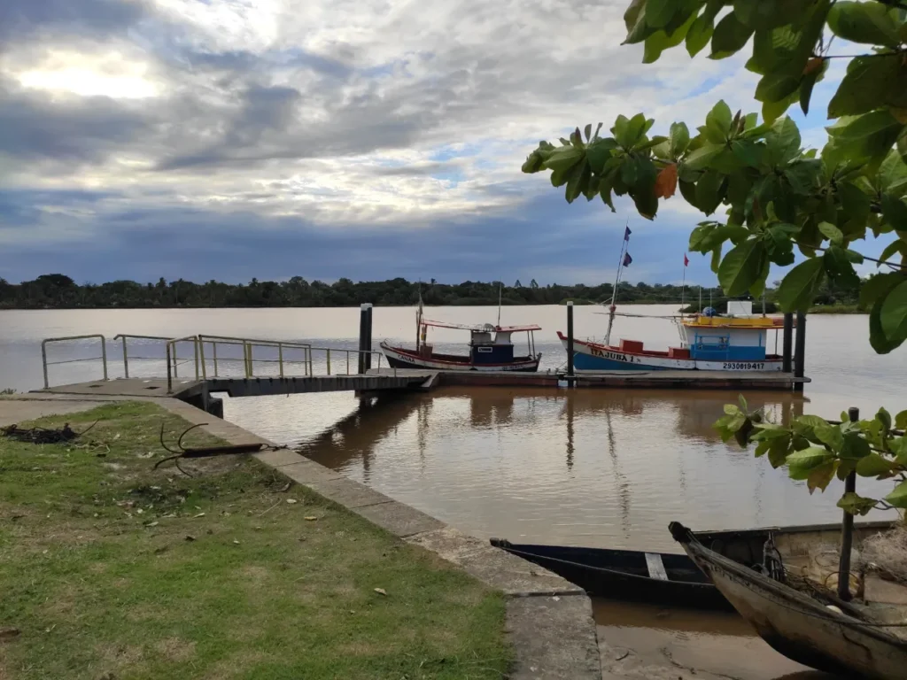
Among all the rivers of the southern coast of Bahia, the Jequitinhonha River has the greatest flow today, and potentially also five centuries ago. This body of water may have been responsible for releasing the weeds sighted by the crew at sea, since this time of summer and early autumn is historically a period of river flooding.
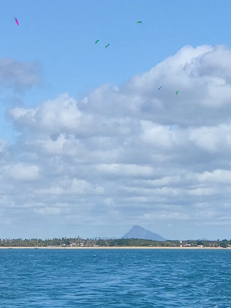
The mouth of the Jequitinhonha River is about one hundred and fifty kilometres in a straight line from the mouth of the Cahy River, the agreed point of arrival of the Portuguese on 22 April, after they sighted on the horizon an imposing mountain that same day. Due to the proximity of Easter Sunday, they named it Monte Pascoal.
During the research for Nascentes da Crise, some historians were interviewed, among others Sidrach Carvalho Neto, author of the work “Santa Cruz Cabrália, five centuries of history”. He helped to validate the origin of the hypothesis raised by Diego Gazola: that the rains coming from the northwest toward the region came from the Amazon and would have raised the water level of the Jequitinhonha River. Subsequently, the ocean currents may have carried remains of vegetation that marked the route of the arrival of the Portuguese on the high seas.
The Pataxó indigenous peoples also contributed to the study, especially those who currently inhabit the surroundings of the Monte Pascoal National and Historic Park. According to what they said, the name of the mountain in the Patxohã indigenous language is Egnetope, and from its summit they observe that the rains at this time of year come mainly from the interior of the continent and not from the coast.
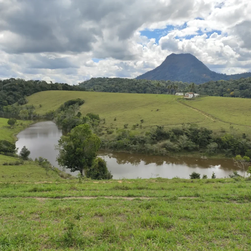
In the Letter, Pero Vaz de Caminha mentions that, besides the tall and round mountain, other lower ranges could be seen to the south. This region today belongs to the municipality of Itamaraju, located about 50 kilometres in a straight line from the Bahian coast.
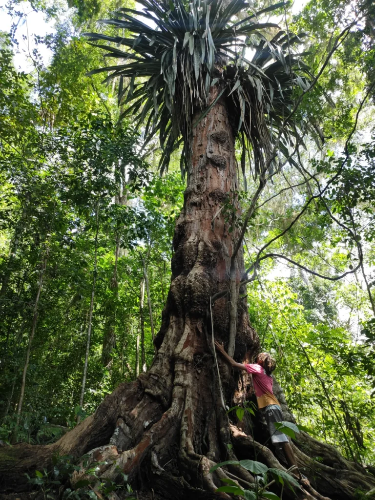
During the investigation, Diego Gazola was also in this city, specifically at the Pau Brasil Sustainable Settlement, located around Monte Pescoço. In 2014, the largest and oldest specimen of pau-brasil (brazilwood) in the world was discovered and catalogued there. It is about 600 years old and has existed since before the arrival of the Portuguese and the beginning of the unbridled extraction of the tree that gave our country its name.
Location
Gallery